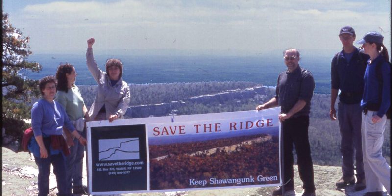
Technically, there is no Awosting Reserve; it’s now simply a section of Minnewaska State Park Preserve. (There is now, finally, a “P” before “reserve”!) As such it is subject to all the rules that apply in the rest of the Park, which are posted at the only town road access site: the gate on Aumick Road. There is enough parking there for around 8-10 cars, if they don’t block the gate.
The shale road starts there and climbs gradually, then relentlessly up. Many people have walked it and wondered where else they can walk. The answer, for now, since routes have not been officially blazed, is that the public is welcome on any of the network of woods roads and shale roads. Bushwhacking is not permitted. In particular the Palmaghatt Ravine is off limits—it is still partially private and its steep slopes are eroded, fragile and dangerous—but the entrance road parallels the Ravine and many viewpoints exist. If you follow the entrance road for about half an hour, past the large gravel pit, you will come to a branch that goes steeply up to the right: follow it and you will top out at Spruce Glen and then Lake Awosting. Or, you can continue straight (horizontal) and then go up the next steep road to the right, which also leads to Lake Awosting, making a round trip possible.
Currently you can also continue straight at that point, but that road eventually disappears and may ultimately be closed. Mud Pond access would then be only from the upper tier of shale road. In general, the lower area is great exercise for walkers, runners, riders, cyclists, skiers, and snowshoers, but not especially scenic till you get up to Spruce Glen. This pattern holds true for most of the rest of the area: the bottom part is exercise for people and habitat for wildlife. The top is scenic.
Much of the current road network is depicted as a light dotted line on the latest NY-NJ Trail Conference Shawangunk Trails South Map (map # 104 from 2008, available at nynjtc.org or at the Mohonk Preserve Visitor Center).
Nothing will change until the new Master Plan, which was presented in draft form at a public hearing on October 22, 2009 is finalized. The written comment period is over, but the draft is still available at www.nysparks.ny.us/inside-our-agency/public-documents.aspx. It reveals the following tentative plans:
- Apply “Preserve” status to newly-acquired lands
- Expand existing parking area to hold a few more cars and horse trailers
- Close the path above Campfire Road, the small circle of roads above it, and the shale road that continues west after the Lake Awosting turnoff; also close the continuation of that road below Mud Pond
- Turn the path in Spruce Glen into a carriage road
- Build a “multi-use, single-track” path looping around much of Awosting’s upper area; this would essentially be a mountain-biking trail since horses and hikers would be loath to use it at the same time as extreme bikers.
At the hearing many mountain bikers expressed enthusiasm for the bike trail, while those who worked to preserve the land for habitat feel it contradicts the intent of the Park’s “Preserve” designation to close down already disrupted habitat (the multi-use roads) to tear up another area for one clientele. Stay tuned to see how the Parks Commission resolves the conflict. Meanwhile, make use of all the existing roads up there!
An unexpected bonus resulted from the Ridge being saved— you can also go boating on Tillson Lake (permit required from the Peterskill Park Office). I live on Aumick Road and would be happy to introduce anyone to the routes I know up there. Email me at publicleaningpost@earthlink.net.
